
- New
search

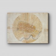

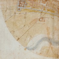
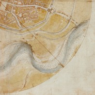

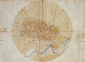
This canvas print presents Leonardo da Vinci’s remarkably precise aerial plan of the fortified Italian city of Imola. Drawn in 1502, it combines surveying, architecture, waterways, streets, and defensive walls in a single lucid view
“Plan of Imola” turns a walled Italian town into a wonderfully calm piece of visual intelligence. Streets form a compact web of pale lines, blocks of buildings sit shoulder to shoulder, and the river loops below the defenses like a blue-gray ribbon that has slipped loose from a parcel. The circular field around the city gives the view an almost astronomical poise: Imola appears measured, centered, and held in orbit. This canvas print preserves the warm parchment tones and fine, searching marks that make the image feel both ancient and startlingly modern.
Made in 1502 during the High Renaissance, the drawing reflects Leonardo da Vinci’s extraordinary appetite for seeing how things work. He was then serving Cesare Borgia as a military engineer, and a reliable map could be as useful as a fortress wall. Rather than relying on a picturesque imagined viewpoint, Leonardo assembled survey information into a near-vertical plan, a radical act of clarity for its day. Look closely and the town becomes a tiny machine of gates, roads, water, and fortification. A second sentence of precision arrives in the canvas print: this is less a bird’s-eye fantasy than a Renaissance mind testing how accurately the world can be arranged on paper.
| Original artwork created | 1502 |
To protect nature and avoid keeping them in storage, canvas prints are printed especially for you when you place an order
Delivery time:
Ireland – 4 to 8 business days
Latvia – 6 to 11 business days
Norway – 4 to 8 business days
United Kingdom – 4 to 8 business days
Delivery provider: POST